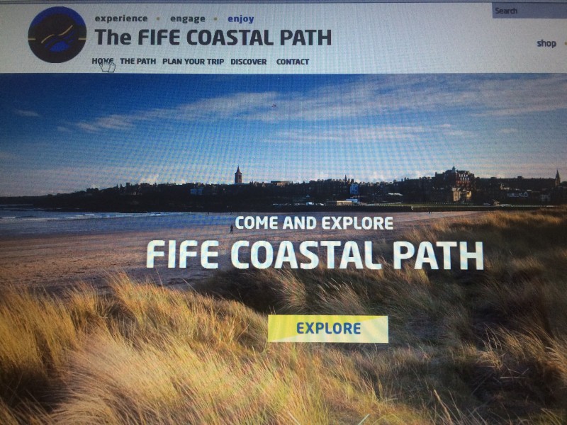
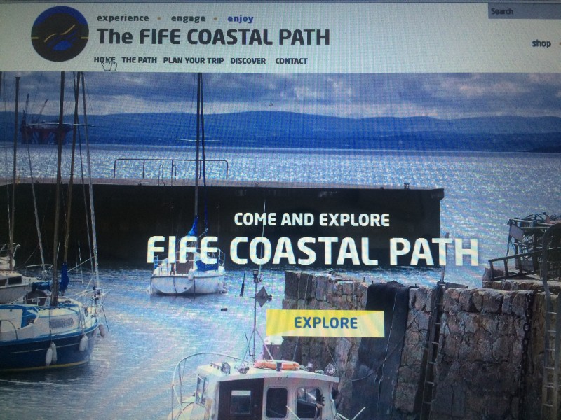
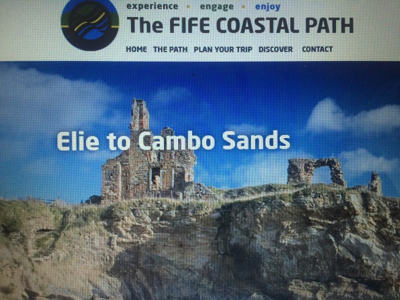
Fife Coast and Countryside Trust, in partnership with Fife Council, has today unveiled its new interactive website dedicated to the Fife Coastal Path, making it easier for visitors to plan trips and discover more of one of Scotland’s most beautiful coastlines.
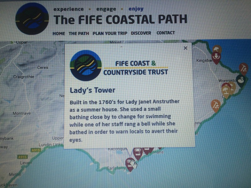
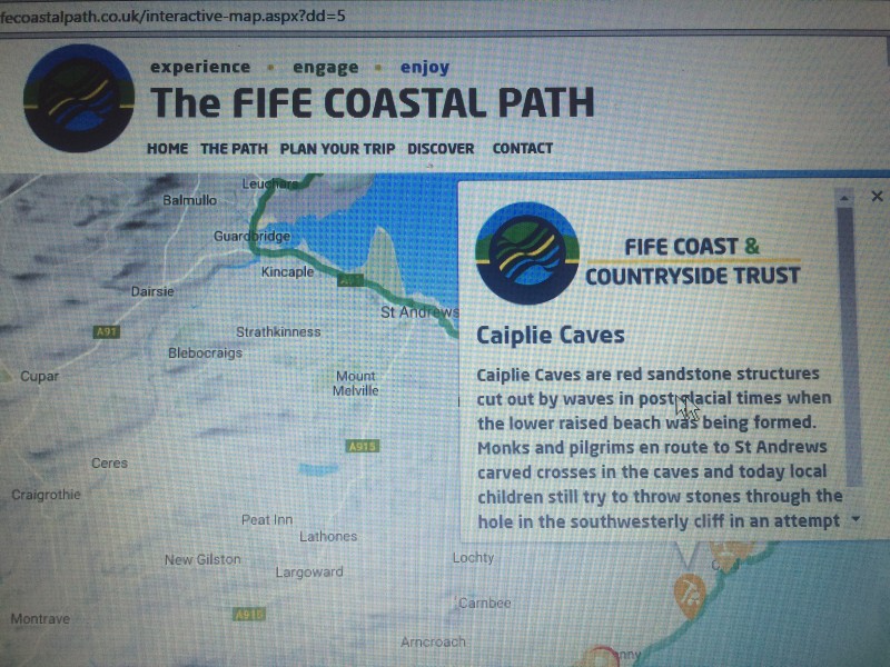
The new website has been designed to provide the ultimate user-friendly experience, with improved navigation and functionality throughout. Visitors to the site can now quickly access detailed information about different attraction points and map their routes.
Created with the online user firmly in mind, the mapping section has been cleverly designed so that people can easily take interactive steps along the stunning coastal stretch, zooming in and out at any point they wish.
The map also now shows visitors the vast points of interest and activities available along the 117 mile long Fife Coastal Path, which include: archaeology, geology, architecture, beautiful beaches, culture, history and fascinating wildlife. From a visit to the East Neuk’s quaint historic fishing villages to the wildly beautiful and ever changing landscape of Tentsmuir, there are endless points of interest for everyone to discover and explore. I particularly love the Pittenweem to Elie and Crail to Anstruther sections of the Path, with a pub or fish ‘n’ chips stop at the end and hopping on the no. 95 bus back.
Handy information about transport and the location of public toilets along the route is also included, making it easier to plan your walk.
Earlier this year the Fife Coastal Path twinned with Skaneleden Coastal Trail in Sweden.
To view the new interactive map and make the most out of visiting the East Neuk of Fife and St Andrews, please visit: www.fifecoastalpath.co.uk and in particular the Elie to Cambo Sands and Cambo Sands to Leuchars sections. Enjoy!


